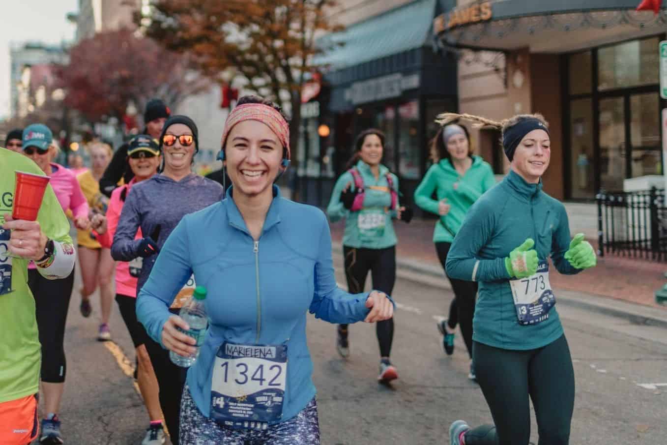
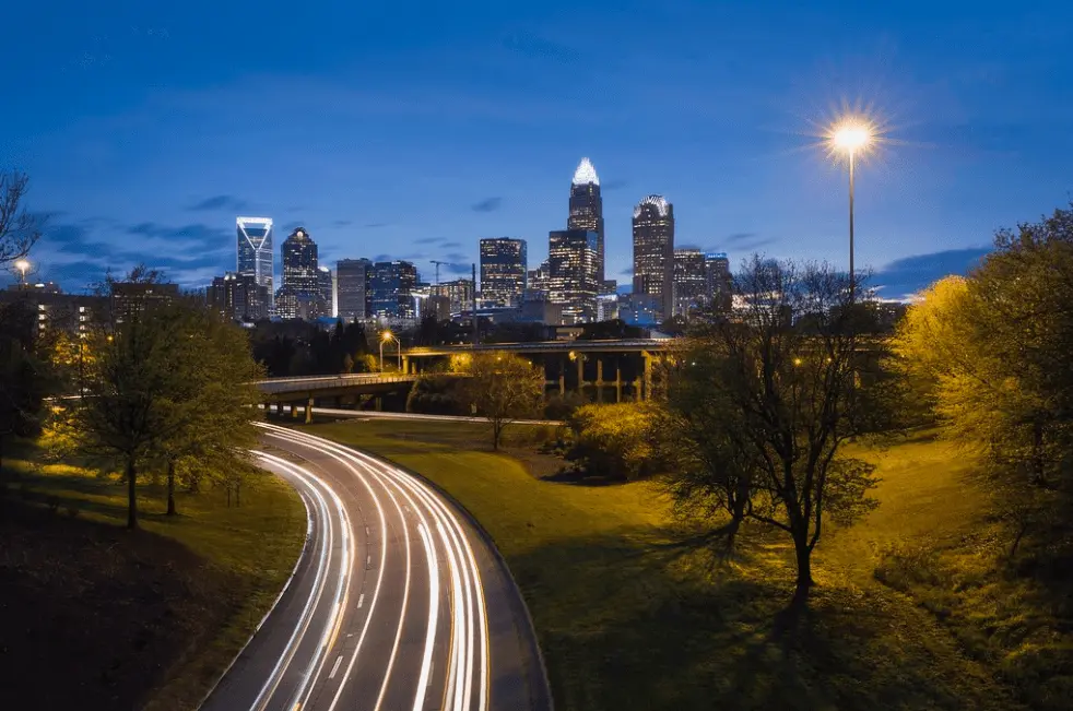
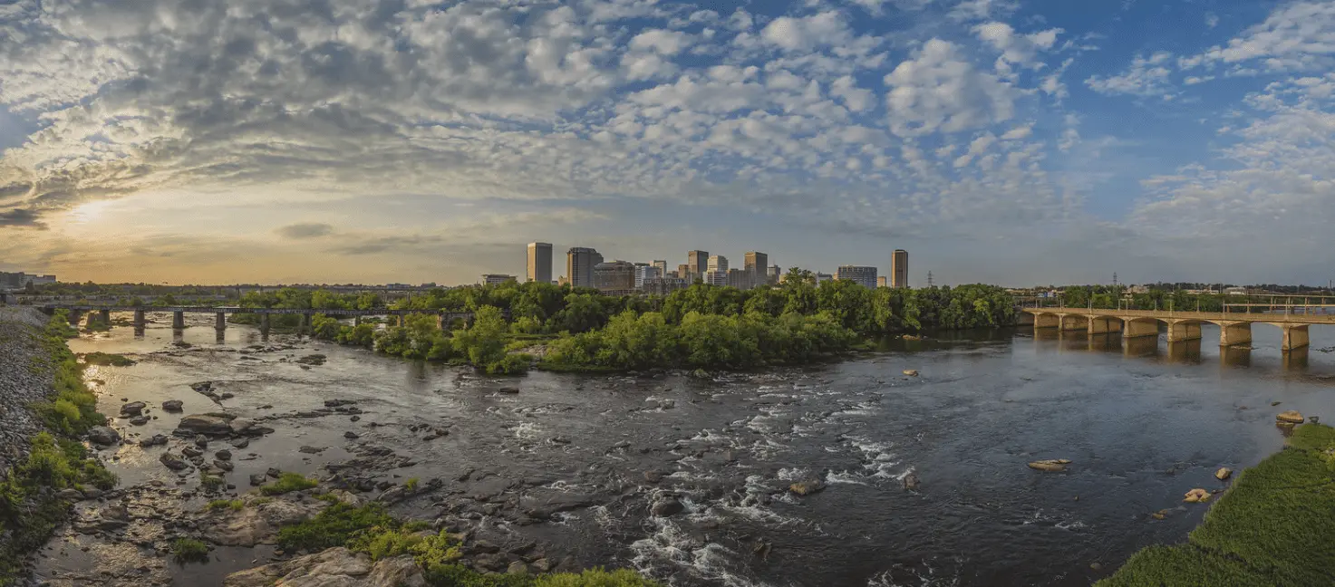
The historic streets of Fredericksburg serve as the course for the annual late springtime Marine Corps Historic Half Marathon, which marks its annual late spring running this year and usually brings more than 7,500 runners out to the streets of this northern Virginia city each spring.
Marine Corps Historic Half Marathon
May 18, 2025
Fredericksburg
Road
Ready to sign up?

1-100

Some Hills

Small Town

High: 77°
/ Low: 58°
Runners pound the pavement through the streets, city blocks and neighborhoods of Old Town Fredericksburg, which give the race a completely different feel as well as plenty of new scenery and attractions for runners and spectators in town for the entire race weekend.
From the starting line at the Fredericksburg Expo and Conference Center on the Carl D. Silver Parkway, the out-and-back course for the race takes runners south along the parkway and then east on Cowan Boulevard, passing over Interstate 95 on the way into the Old Town section of Fredericksburg.
Once inside this section of the city, runners follow the course along a number of twists and turns through the city, passing through the campus of the University of Mary Washington and past Kenmore Park, on the way toward Canal Street and Princess Anne Street.
After the several-blocks-long stretch along Princess Anne, the course turns onto Caroline Street, which runners follow through town and then past the historic, green Old Mill Park, which lies on the banks of the bend in the Rappahannock River.
The course takes runners along Caroline as it becomes Riverside Drive, following the bend in the river to Fall Hill Avenue and Jefferson Davis Highway, one of many reminders of the city’s historic significance as the half-way point between the old confederate capital of Richmond and Washington, D.C.
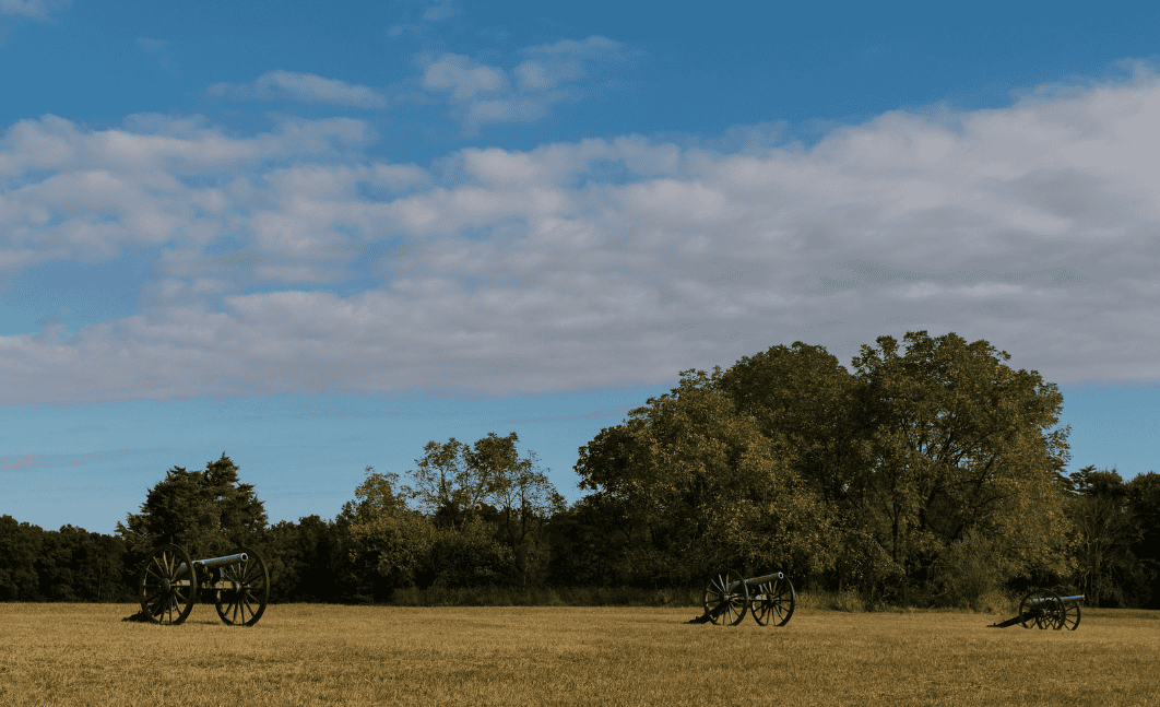
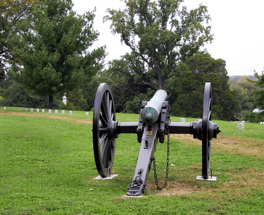
(The city was the site of a Civil War battle in December 1862, as well as subsequent battles in May 1863 and May of 1864).
The race is run mostly on paved surfaces through the city streets of Fredericksburg, with the exception of a brief stretch along the combination gravel and natural-surface trail along the Vepco Canal, between Fall Hill Avenue and the Jefferson Davis Highway.
The course also features some hilly stretches, particularly between mile markers 3 and 5 and mile markers 10 and 12, where runners will face the steepest uphill stretch, rising about 200 feet.
Overview
The historic streets of Fredericksburg serve as the course for the annual late springtime Marine Corps Historic Half Marathon, which marks its annual late spring running this year and usually brings more than 7,500 runners out to the streets of this northern Virginia city each spring.
Course Description
Runners pound the pavement through the streets, city blocks and neighborhoods of Old Town Fredericksburg, which give the race a completely different feel as well as plenty of new scenery and attractions for runners and spectators in town for the entire race weekend.
From the starting line at the Fredericksburg Expo and Conference Center on the Carl D. Silver Parkway, the out-and-back course for the race takes runners south along the parkway and then east on Cowan Boulevard, passing over Interstate 95 on the way into the Old Town section of Fredericksburg.
Once inside this section of the city, runners follow the course along a number of twists and turns through the city, passing through the campus of the University of Mary Washington and past Kenmore Park, on the way toward Canal Street and Princess Anne Street.
After the several-blocks-long stretch along Princess Anne, the course turns onto Caroline Street, which runners follow through town and then past the historic, green Old Mill Park, which lies on the banks of the bend in the Rappahannock River.
The course takes runners along Caroline as it becomes Riverside Drive, following the bend in the river to Fall Hill Avenue and Jefferson Davis Highway, one of many reminders of the city’s historic significance as the half-way point between the old confederate capital of Richmond and Washington, D.C.
(The city was the site of a Civil War battle in December 1862, as well as subsequent battles in May 1863 and May of 1864).
The race is run mostly on paved surfaces through the city streets of Fredericksburg, with the exception of a brief stretch along the combination gravel and natural-surface trail along the Vepco Canal, between Fall Hill Avenue and the Jefferson Davis Highway.
The course also features some hilly stretches, particularly between mile markers 3 and 5 and mile markers 10 and 12, where runners will face the steepest uphill stretch, rising about 200 feet.

