Naperville Trails Half Marathon


Overview
Course Description
Today, the farm area is part of the Danada Forest Preserve, which spans more than 780 acres and features wide-open forests, prairies and wetlands areas.
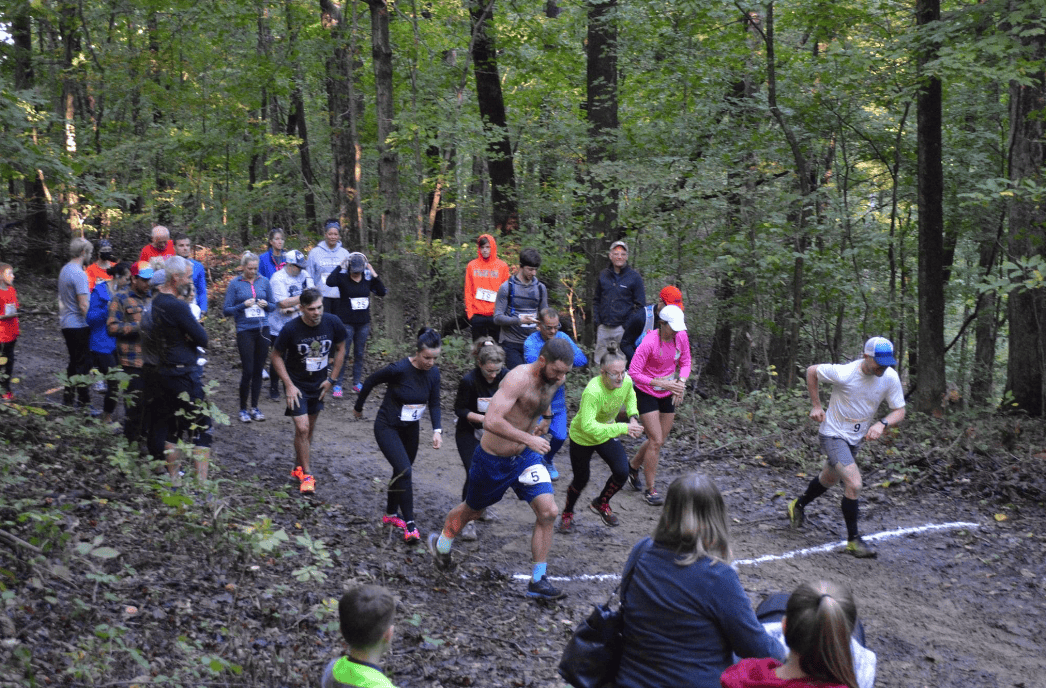
Runners start the race near the equestrian center and head out onto the crushed limestone trails that wind their way through the preserve, heading first northeast through the park nearly all the way to its northeastern corner near the intersection of Butterfield Road and Leask Lane.
Once they reach the turnaround point, runners then head back along the park trails in the reverse direction back toward the equestrian center, and continue making their way westward through the preserve’s winding trails, eventually making their way to the areas just south of Arrowhead Country Club.
Runners make their way around three loops around what is roughly a figure-eight section of the trails around this part of the preserve, first with two loops around the lower trails and then a single loop around the upper section before heading back toward the equestrian center for the race finish.
Runners can expect some rolling hills along the park trails, though much of the course is otherwise flat terrain, as the elevation for the race route ranges between a low of about 720 feet above sea level and a high of just over 780 feet.

